Name/Title
Union Pacific train map 1876 (City of Pinole)Description
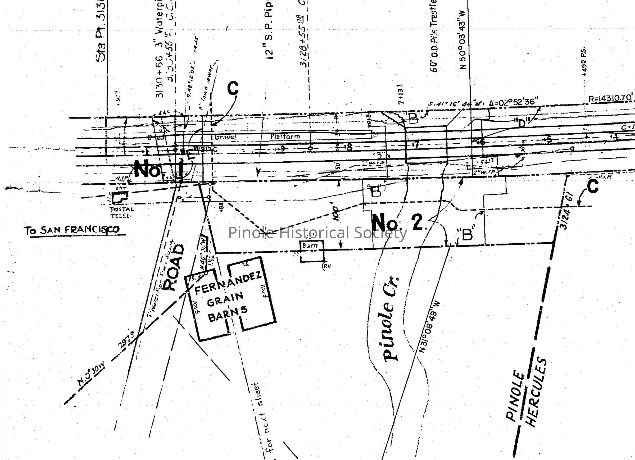
The Southern Pacific Railroad (formerly the Northern Railway and now Union Pacific) came to the Pinole waterfront in the late 1870s. With the railroad came a Pinole depot with an agent and a post office. The new railroad provided many residents a route to San Francisco, where they bought 5-6 months of foodstuffs at Jim's Cash Store and shipped them back to Pinole. Chinese merchants also came with their wares from San Francisco to Pinole homes because of the railroad access. Because of the new railroad facilities, the California Powder Works moved here from San Francisco in 1879. This map shows Union Pacific's land ownership along San Pablo Bay from the Bernardo Fernandez grain barns on the left to the Pinole-Hercules border on the right.Copyright
Copyright Holder
Pinole Historical Society