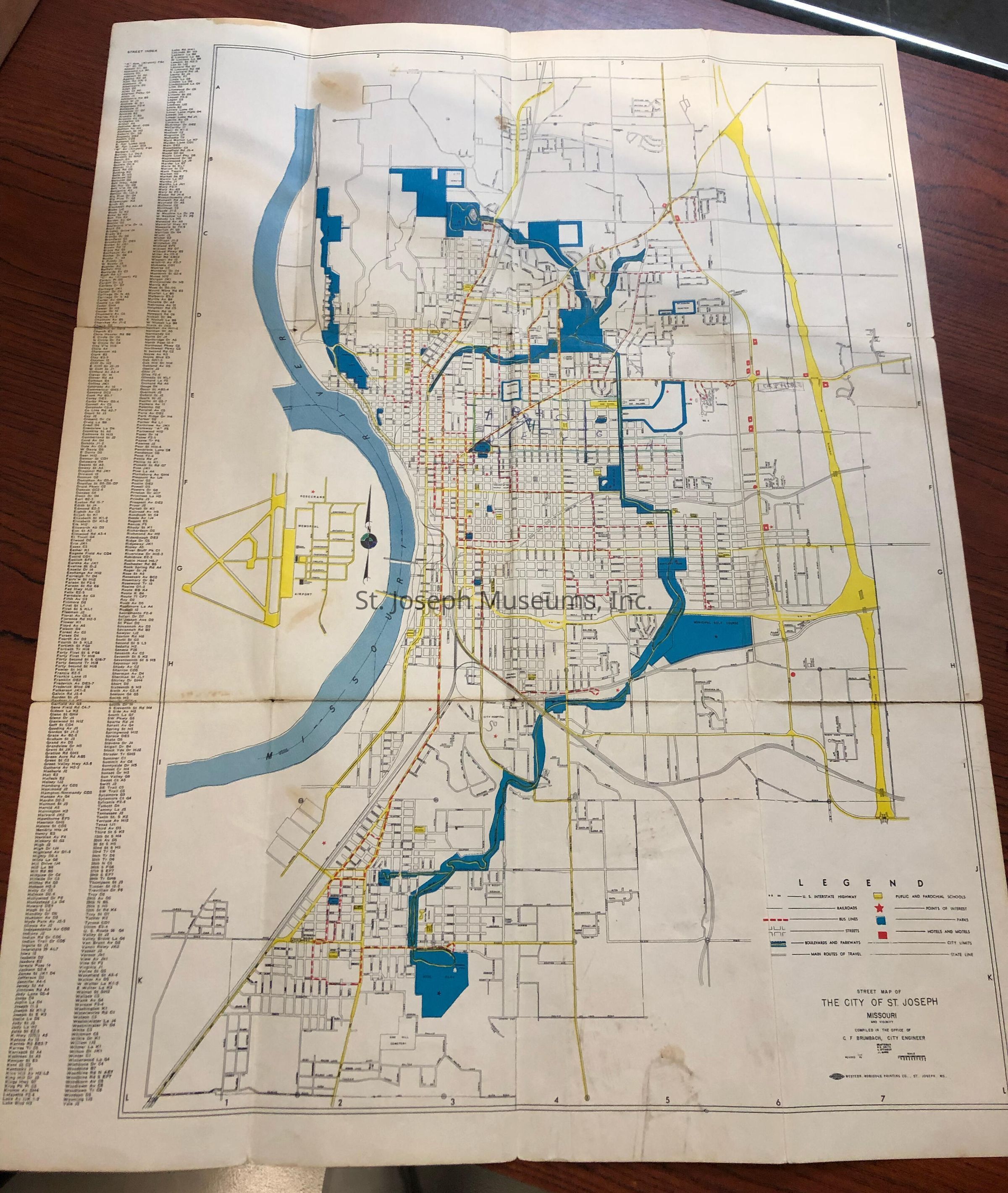
Name/Title
City of St. Joseph Street Map, c. 1960Entry/Object ID
AM2014.26.821Scope and Content
City of St. Joseph Street Map, c. 1960. undated but after 1952 flood and before City Auditorium torn down. Interstate highway shown but not East Hills Development. Compiled by C. F. Brumbach, City Engineer. Printed by Western Robidoux Printing CoCollection
Marshall & Melanie WhiteLexicon
Nomenclature 4.0
Nomenclature Secondary Object Term
MapNomenclature Primary Object Term
CartographNomenclature Sub-Class
Graphic DocumentsNomenclature Class
Documentary ObjectsNomenclature Category
Category 08: Communication ObjectsSearch Terms
St. Joseph Street Map, 1960