Name/Title
Family AtlasEntry/Object ID
L9999.802.19016Description
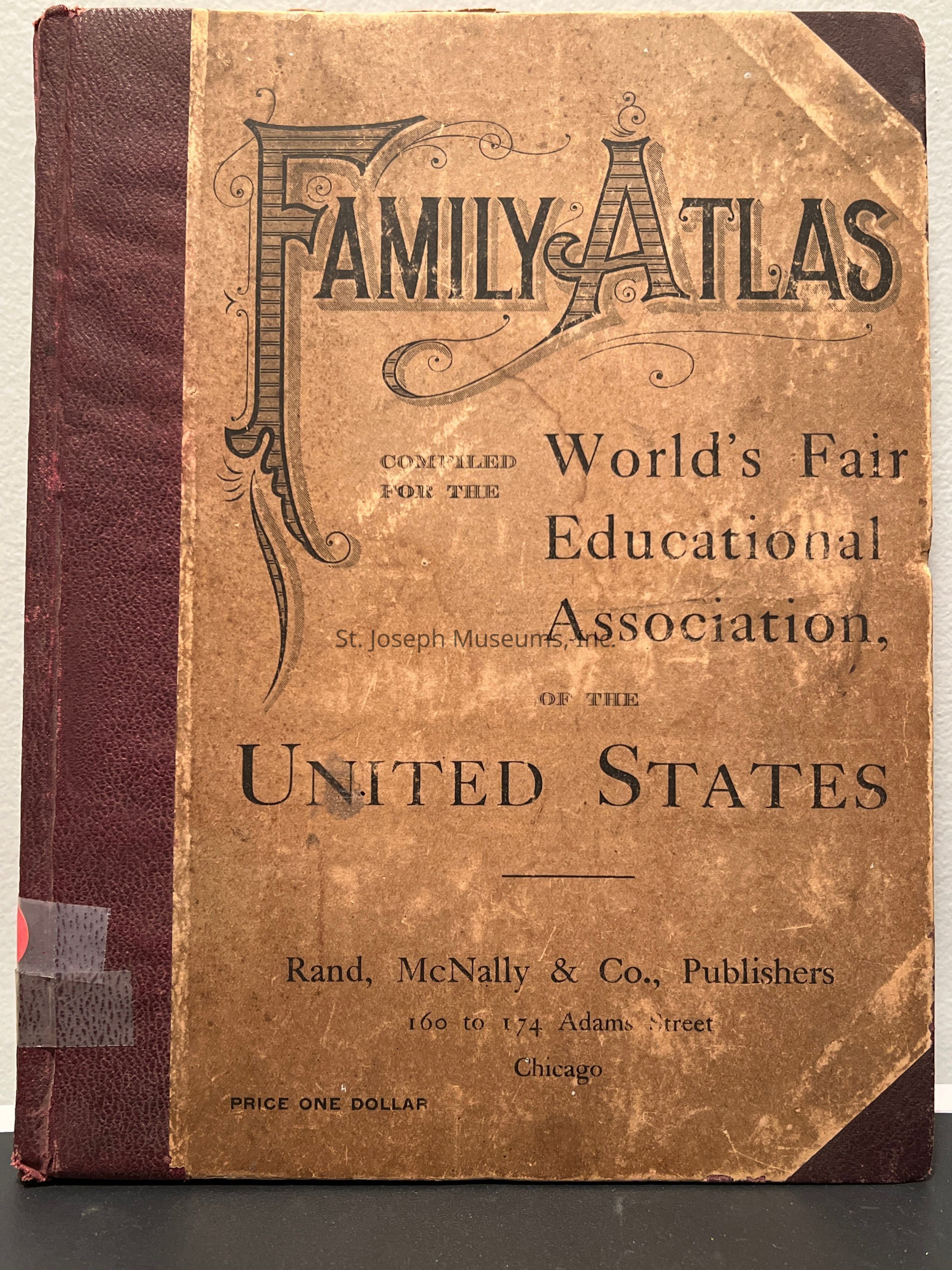
Family Atlas, 1892, was compiled for the World's Fair Educational Association of the United States. Containing A County and Railroad map of each State & Territory in the United States. Printed in Chormatic Colors.
A Full page of reading matter accompanies each State & Territory map, givng the salient features in its politcal and economic history, thus presentng a thorough understanding of tehe causes or growth, extent of resources, and progress of development.
It is intended to supplement school text books and offered only to participants in a Map drawing contest held by the association.
Wm. T. Keller's name is handwritten on the fly leaf with the date 5-93.
In the front of the book is a supplement to the N.Y. World, Sunday Oct. 29, 1892, which is entitled Map of the South African Seat of War, about the Boer War.
100/Hardbound/MapsLexicon
Nomenclature 4.0
Nomenclature Primary Object Term
BookNomenclature Sub-Class
Other DocumentsNomenclature Class
Documentary ObjectsNomenclature Category
Category 08: Communication ObjectsLOC Thesaurus for Graphic Materials
Education, Transportation, MapsSearch Terms
Maps, Newspaper articles, States of the United States, Platte Purchase, North American-United States, 19th Century, St. Joseph HistoryBook Details
Author
Rand McNallyPlace Published
City
ChicagoState/Province
IllinoisDate Published
1892Call No.
GenHist RMNotes
Copy No.: 1