Der römische Limes in Rheinland-Pfalz (The Roman Limes in Rhineland-Palatinate)
Name/Title
Der römische Limes in Rheinland-Pfalz (The Roman Limes in Rhineland-Palatinate)Description
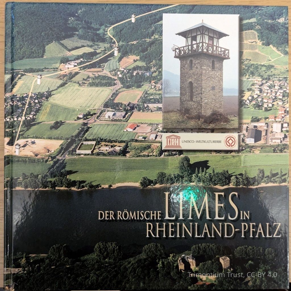
Der römische Limes in Rheinland-Pfalz is a guide to the Roman Limes, located between the Rhine and Danube rivers in the 2nd and 3rd centuries AD, that marked the border of the Roman Empire with the free Germanic territories. Its remains today constitute the longest and most famous archaeological site in Germany. In the summer of 2005, the UNESCO World Heritage Committee declared the Limes a World Heritage Site. This illustrated book documents the entire course and condition of the Limes in the state of Rhineland-Palatinate, from Rheinbrohl to Holzhausen an der Haide. It features historical photographs, images of recent excavations, photos of artifacts, and numerous new reconstruction drawings. Aerial photographs show the Limes as a thin line across the landscape, clearly marking the locations of all the watchtowers and forts. Maps are included to help visitors locate the site along the various accessible hiking trails.Category
Book
Books & Paper