Roman Britain
Name/Title
Roman BritainSecondary Title
Historical Map & GuideDescription
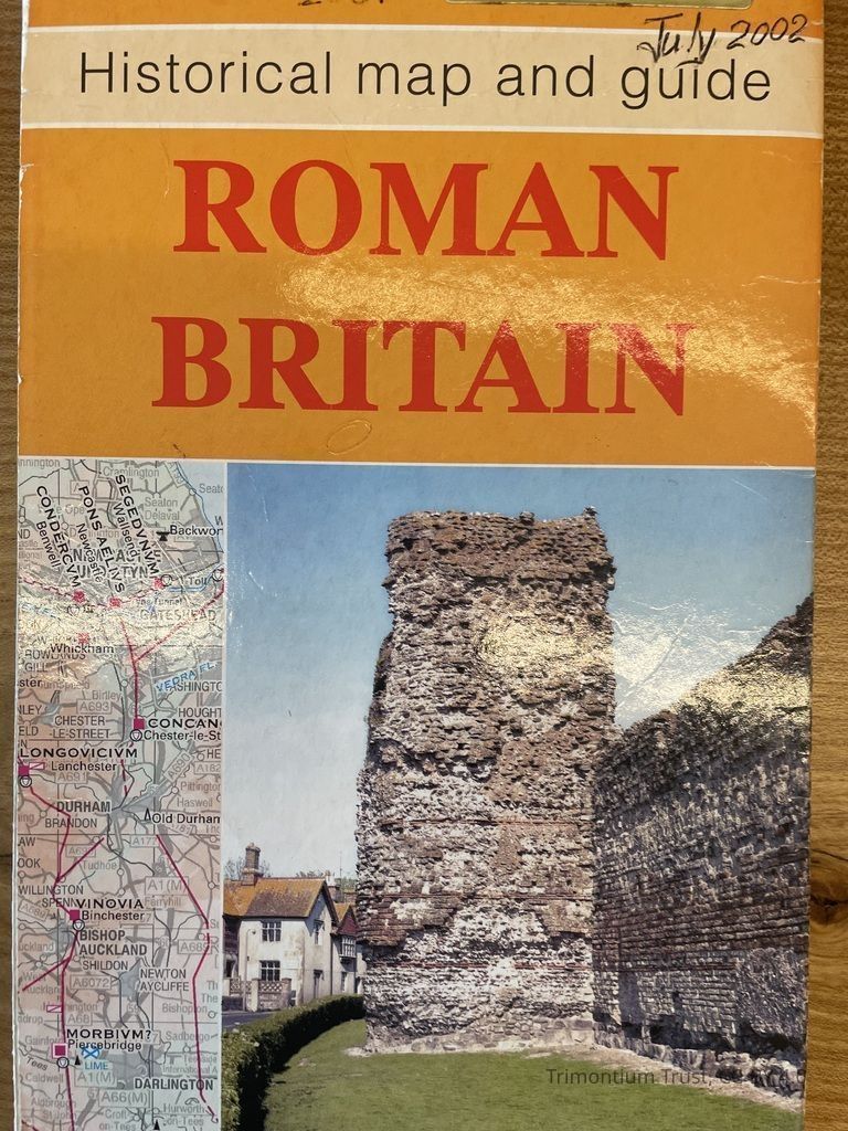
Roman Britain: Historical map and guide, covers the whole of Great Britain, is printed back to back as North and South sheets and includes a list of key dates, events and archaeological evidence. An informative text describes many aspects of Roman life, including land-use and settlement, communication, religion, military and industrial sites, all illustrated with photographs, maps and diagrams. Sites and museums to visit are listed together with a list of additional reading to enhance the understanding and knowledge of life under the roman occupation.Category
Map