Name/Title
Space Shuttle Surface Photographs; Mexico, Bolivia, Nigeria, Iraq - Dennis TemplinEntry/Object ID
2024.365.19Description
Space Shuttle Surface Photographs; Mexico, Bolivia, Nigeria, Iraq - Dennis Templin
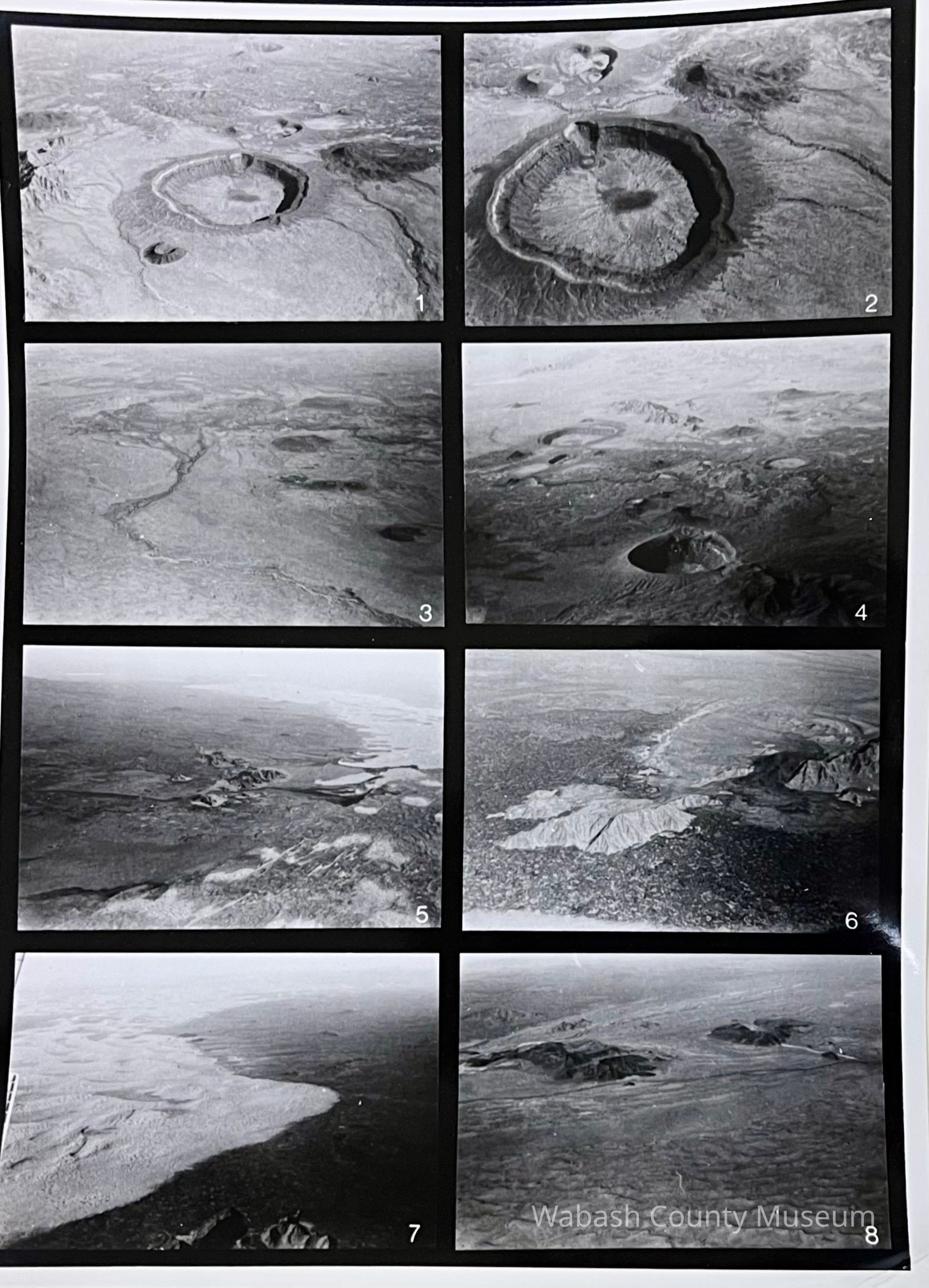
- Series of eight Shuttle radar images (SIR-A) of volcanic and impact craters were examined to assess their appearance on radar images. Images were compared with conventional photographs and with results from field studies. Consideration was then given to radar images available for Venus, or anticipated from the Magellan mission.
- Shuttle Imaging Radar-A (SIR-A) was a NASA experiment that used radar pulses to image the Earth. The SIR-A was launched on November 12, 1981, aboard the Space Shuttle Columbia on its second flight, STS-2. This was the first in a series of instruments that imaged Earth using radar pulses, rather than optical light, as illumination.