Name/Title
Crooked Creek South: 46LG61, Archaeological SiteEntry/Object ID
CCS1.46LG61.06Description
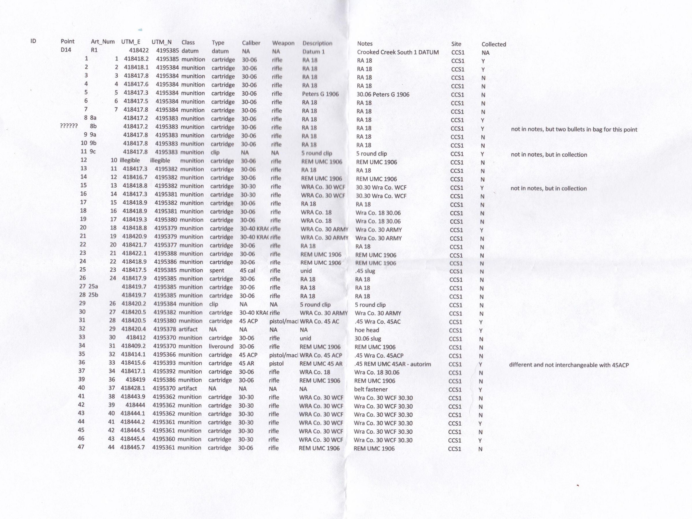
Part of a large southern flank at Crooked Creek Gap, CCS1 and the adjascent site, CCS2, are located along a crest at the highest point in the Crooked Creek Area (610 meters above sea level, valley bottom 200m). CCS1 is located along a knoll above Crooked Creek Gap.
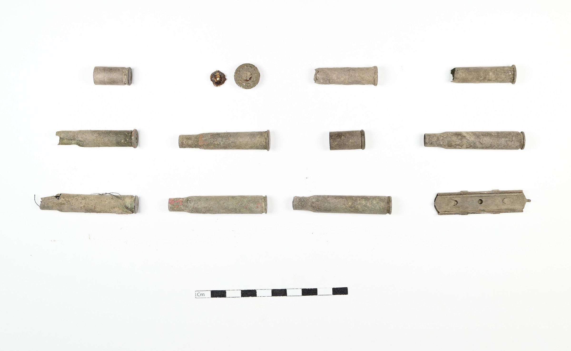
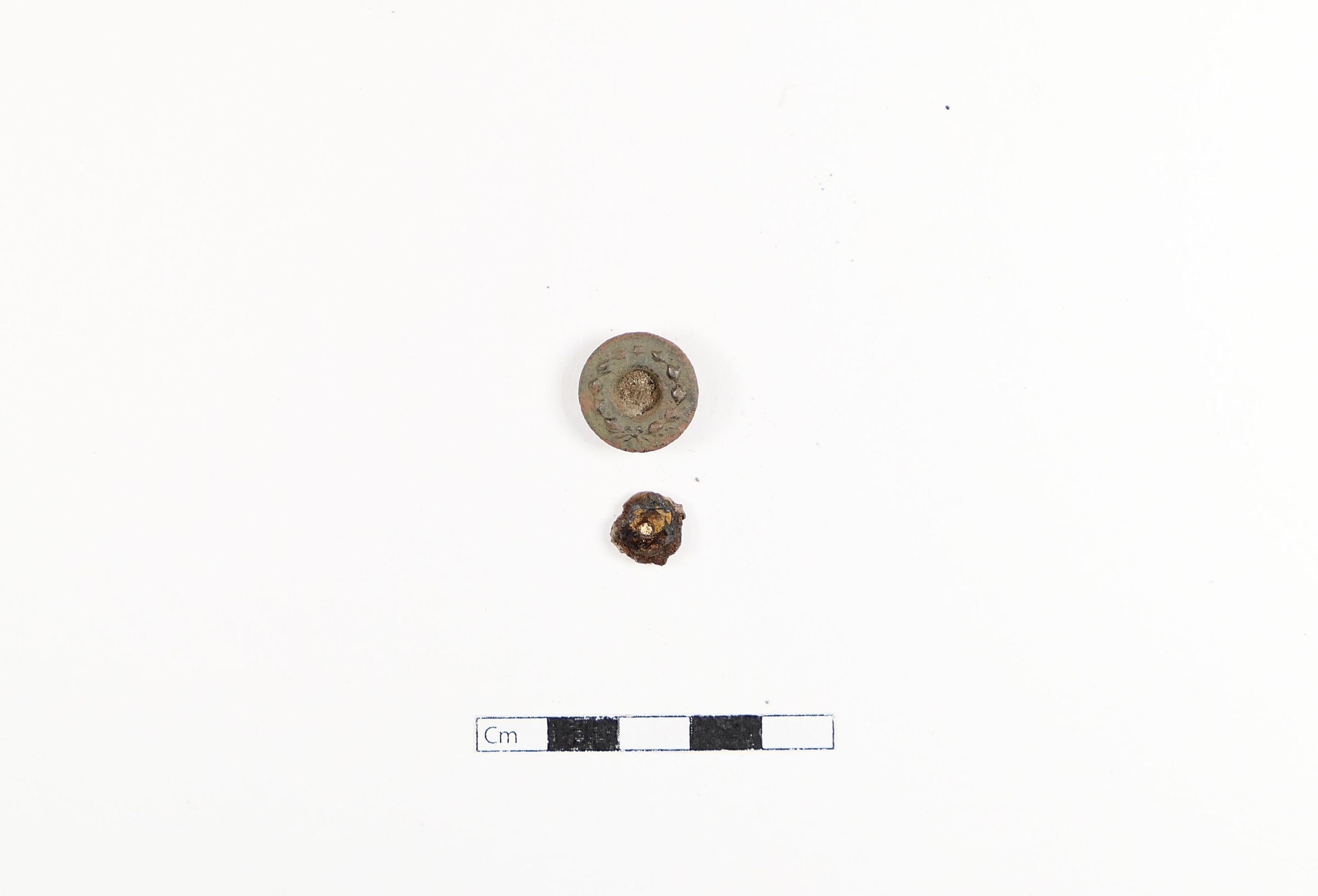
Items 1, 2, 8, 9, 13, 18, 28, 33, 37, 41, 43 are included in this collection.Context
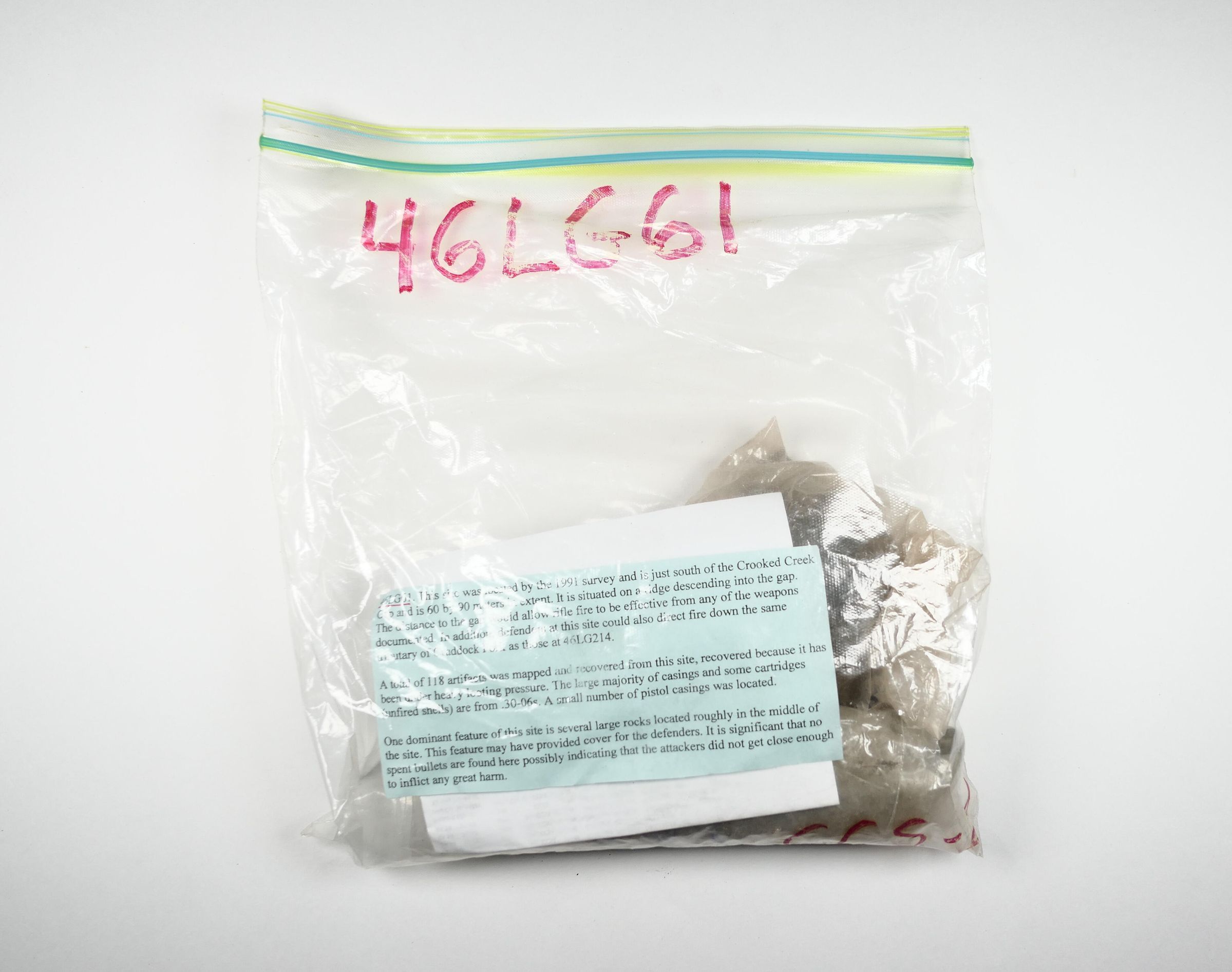
"This site was located by the 1991 survey (WVU) and is just south of the Crooked Creek Gap and is 60 by 90 meters in extent. It is situated on a ridge descending into the gap. The distance to the gap would allow rifle fire to be effective from any of the weapons documented. In addition, defenders at this site could also direct fire down the same tributary of Craddock Fork as those at 46LG214.
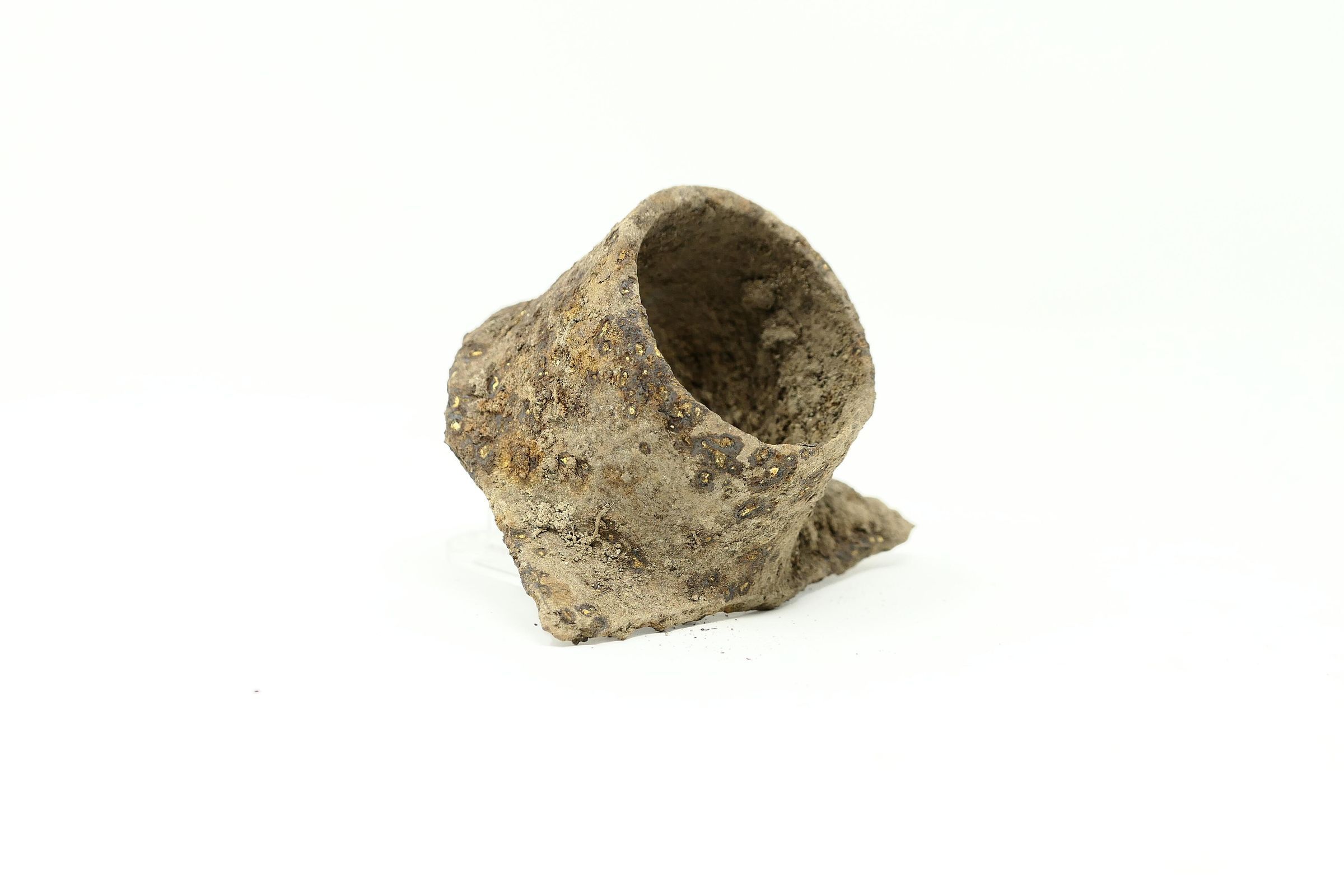
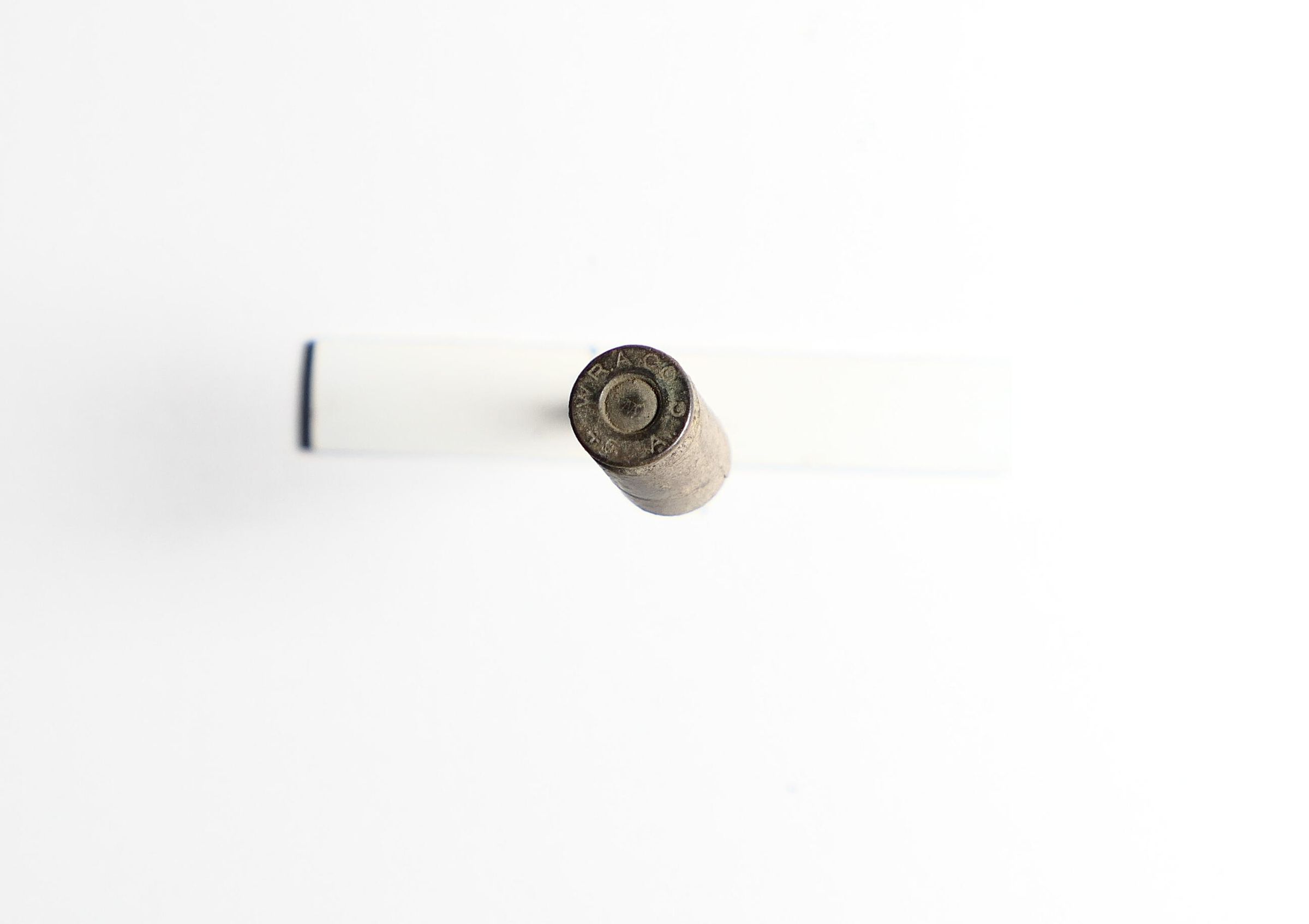
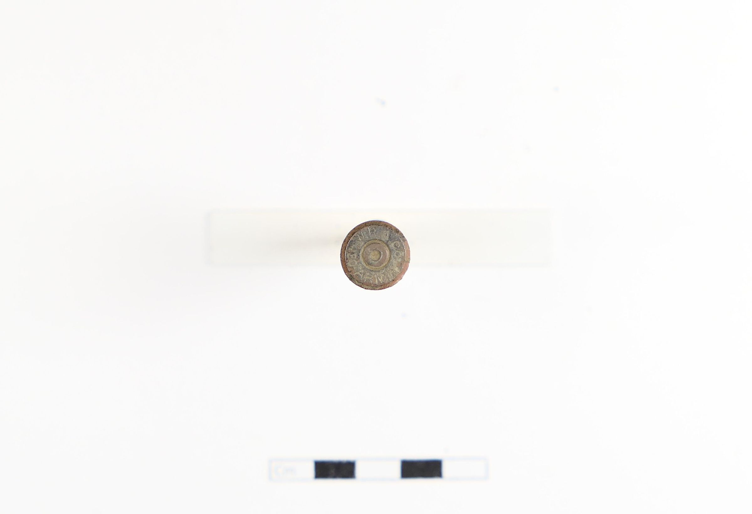
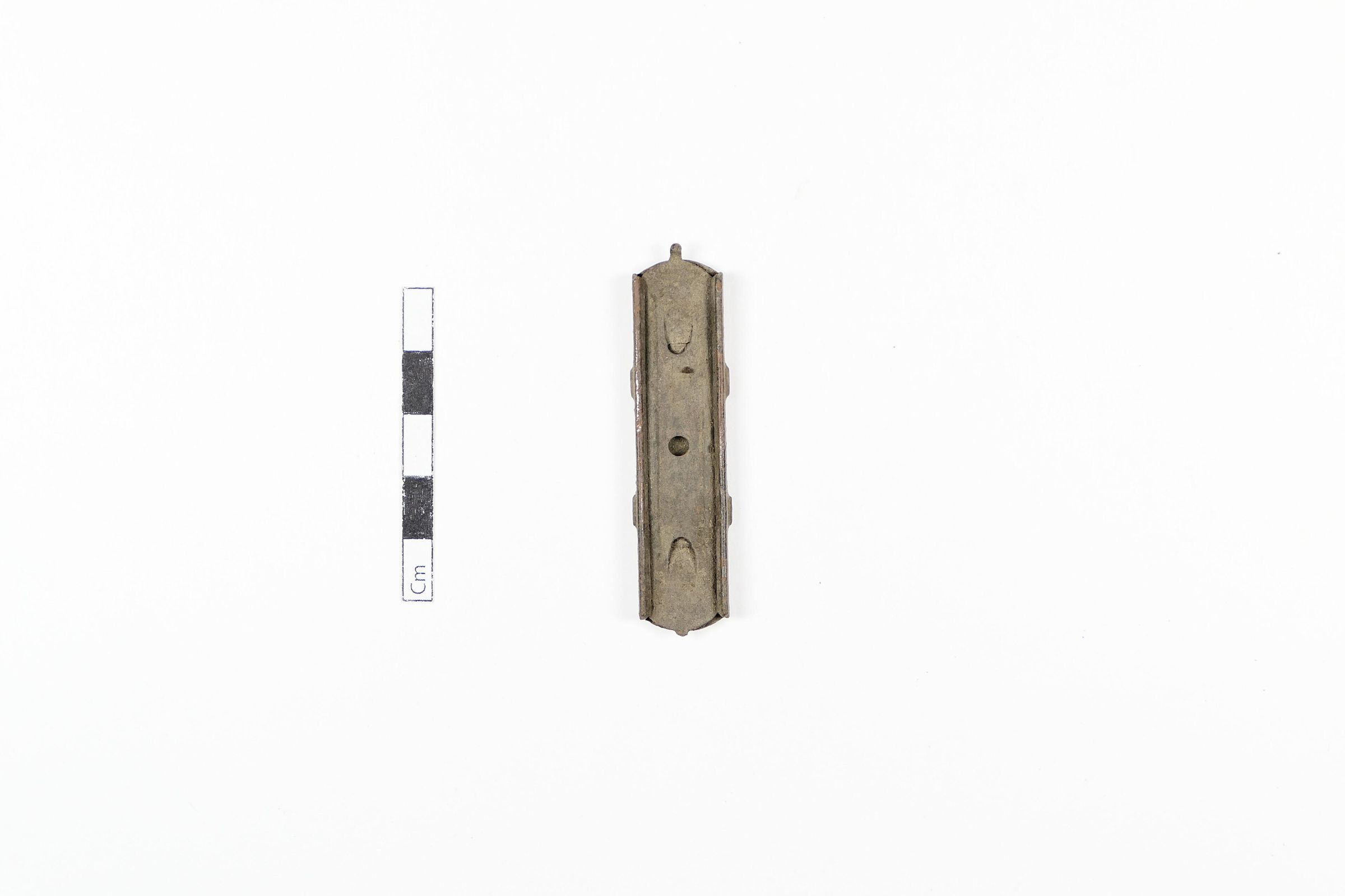
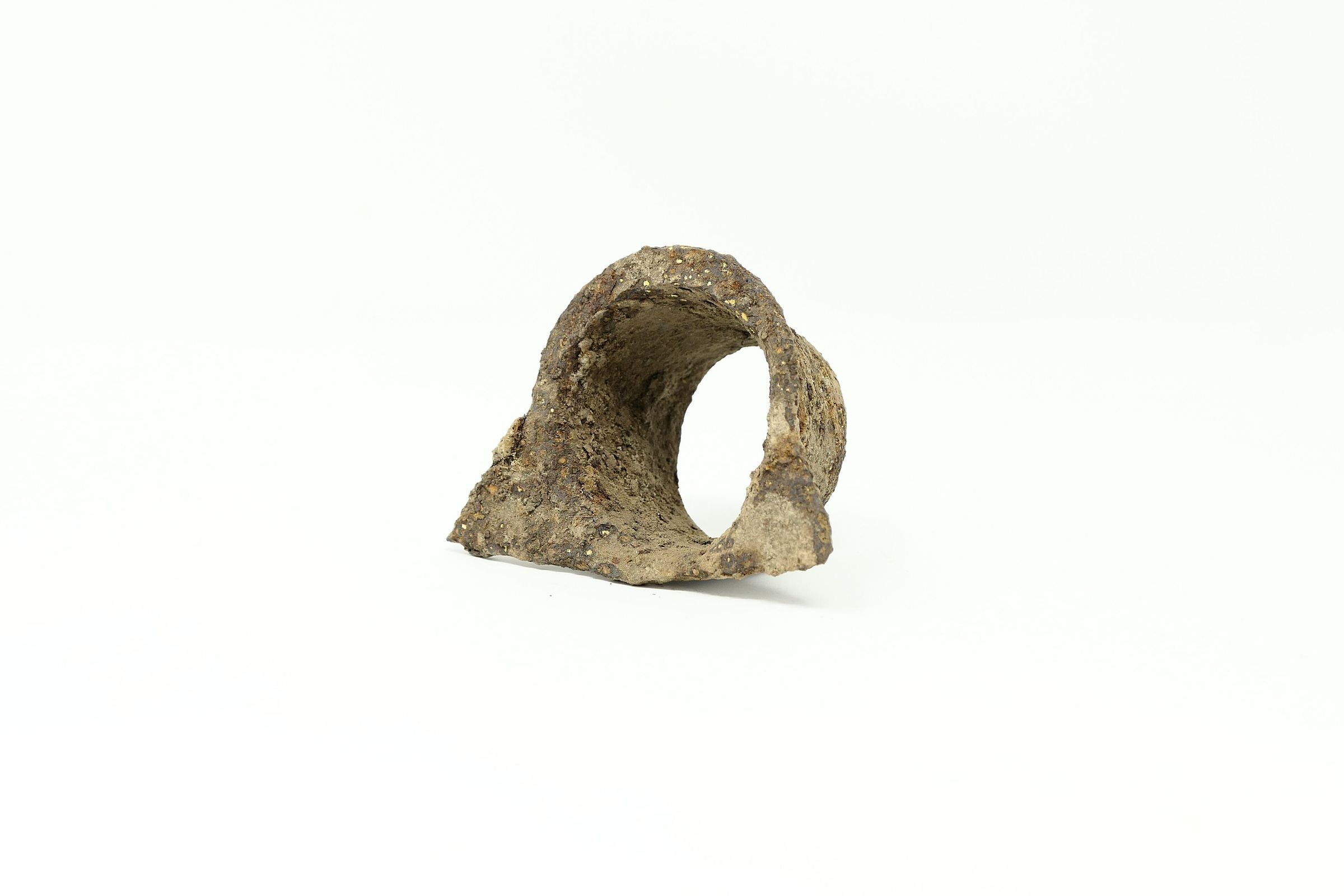
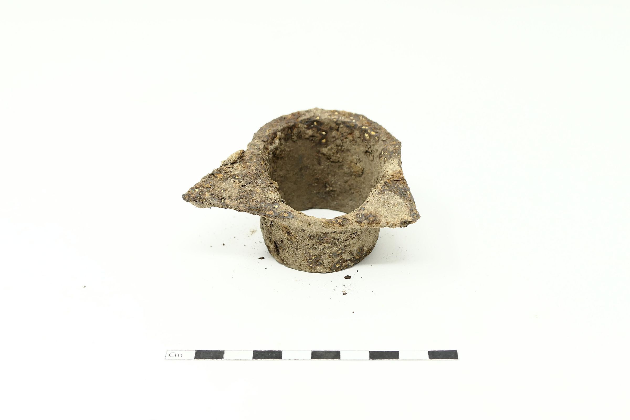
A total of 118 artifacts were mapped and recovered from this site, recovered because it has been under heavy looting pressure. The large majority of casings and some cartridges (unfired shells) are from .30-06s. A small number of pistol casings were located.
One dominant feature of this site is several large rocks located roughly in the middle of the site. This feature may have provided cover for the defenders. It is significant that no spent bullets are found here possibly indicating that the attackers did not get close enough to inflict any great harm."
(Ayers team, 2006)Collection
Blair Mountain ArchaeologyAcquisition
Source (if not Accessioned)
Blair Mountain Archaeology GroupNotes
now collection of Kenny KingMaterial
Steel, Brass, MetalLocation
Location
Box
Blair Box #3Shelf
Unit A: Shelf 4Room
Artifact Storage RoomCategory
StorageMoved By
Shaun SliferDate
August 2, 2021Relationships
Related Person or Organization
Person or Organization
Blair Mountain Archaeology GroupRelated Places
Place
Location
Crooked CreekRegion
Blair Mountain Battlefield, Southeast, Crooked Creek AreaContinent
North AmericaRelated Events
Event
Battle of Blair Mountain (1921)Provenance
Provenance Detail
Archaeological FindNotes
6/3/2006