Name/Title
Sycamore Branch: 46LG218, Archaeological SiteEntry/Object ID
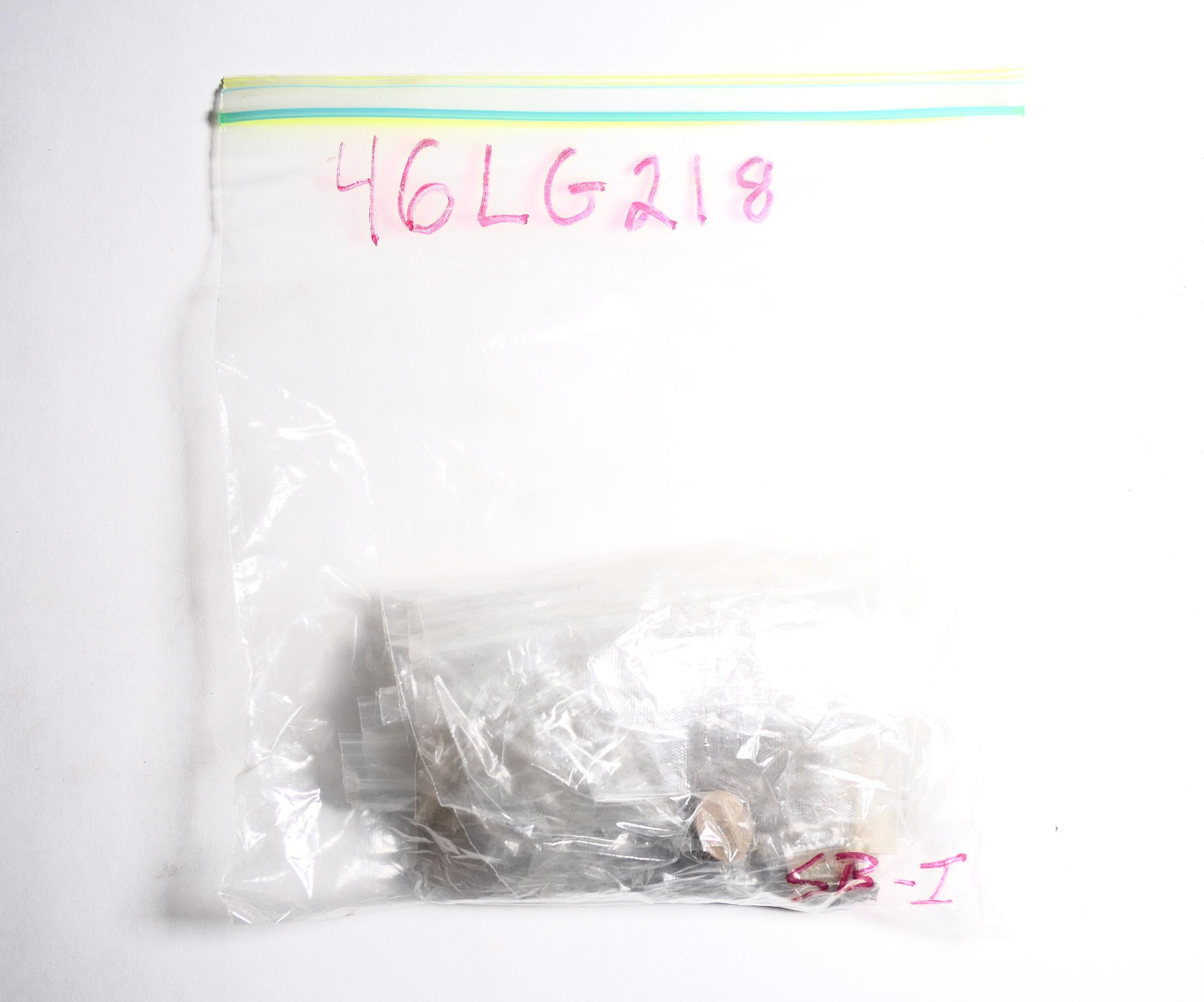
SB2.46LG218.06Description
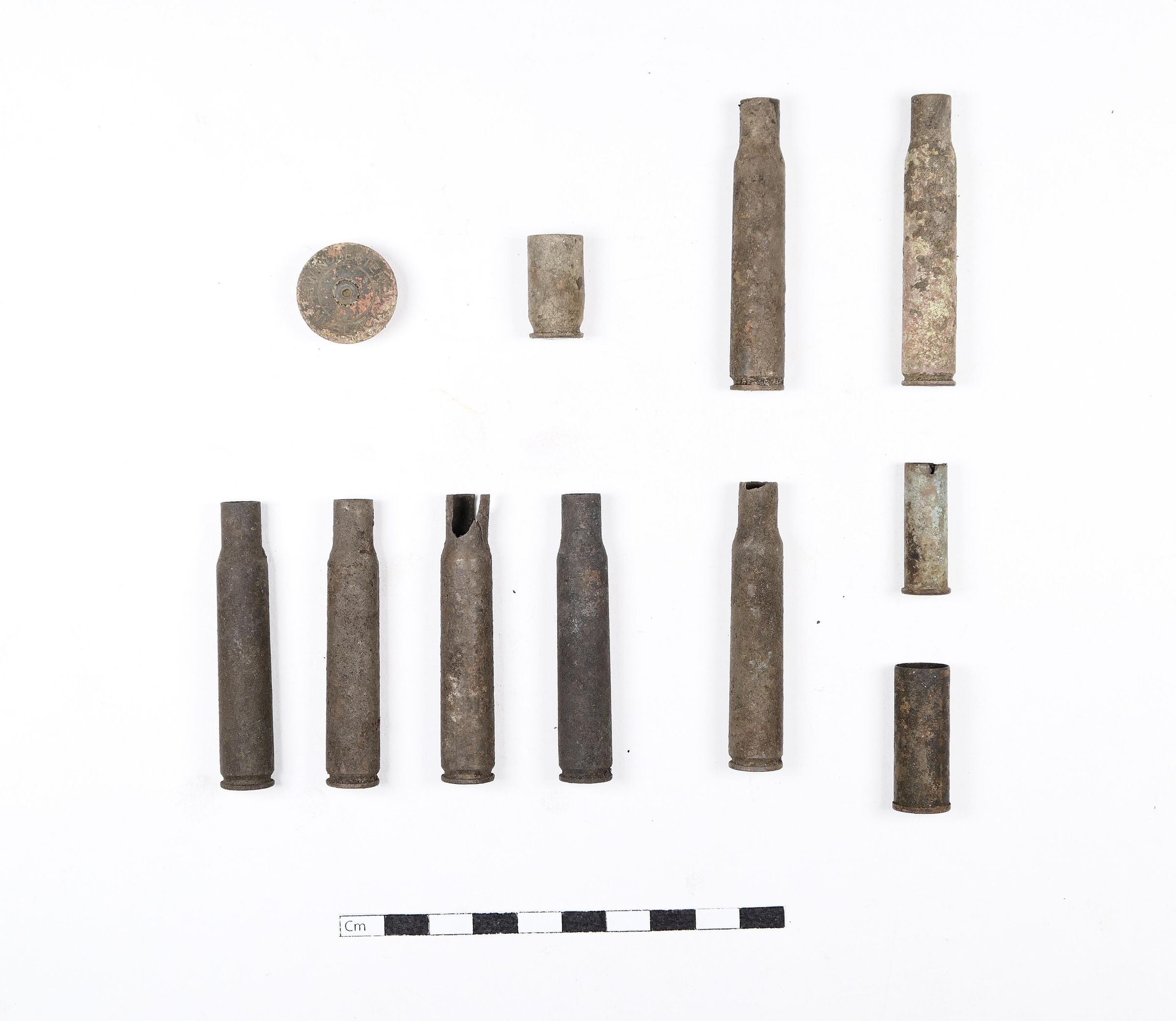
Eleven (11) artifacts in collection.
Sycamore Branch, consisting of two sites recorded at the top of a ridge (SB1 and SB2), is an area where Lon Savage and others claim the miners broke through defensive lines. The Sycamore Branch Gap below was a crossroads for many watersheds within the battlefield, as well as the location of and the sites above were connected by several trails which ran along he Spruce Fork ridgeline. This was not an area of major fighting, but would have held strategic significance if captured by the miners.Context
"This site is located near the head of Sycamore Branch, a tributary of Craddock Fork, and is about 2.2 kilometers east of Crooked Creek Gap. It is on a northwest to southeast trending ridge and is about 20 by 70 meters in size.
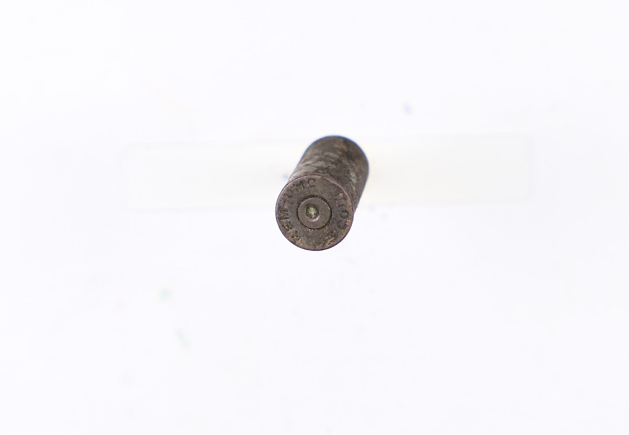
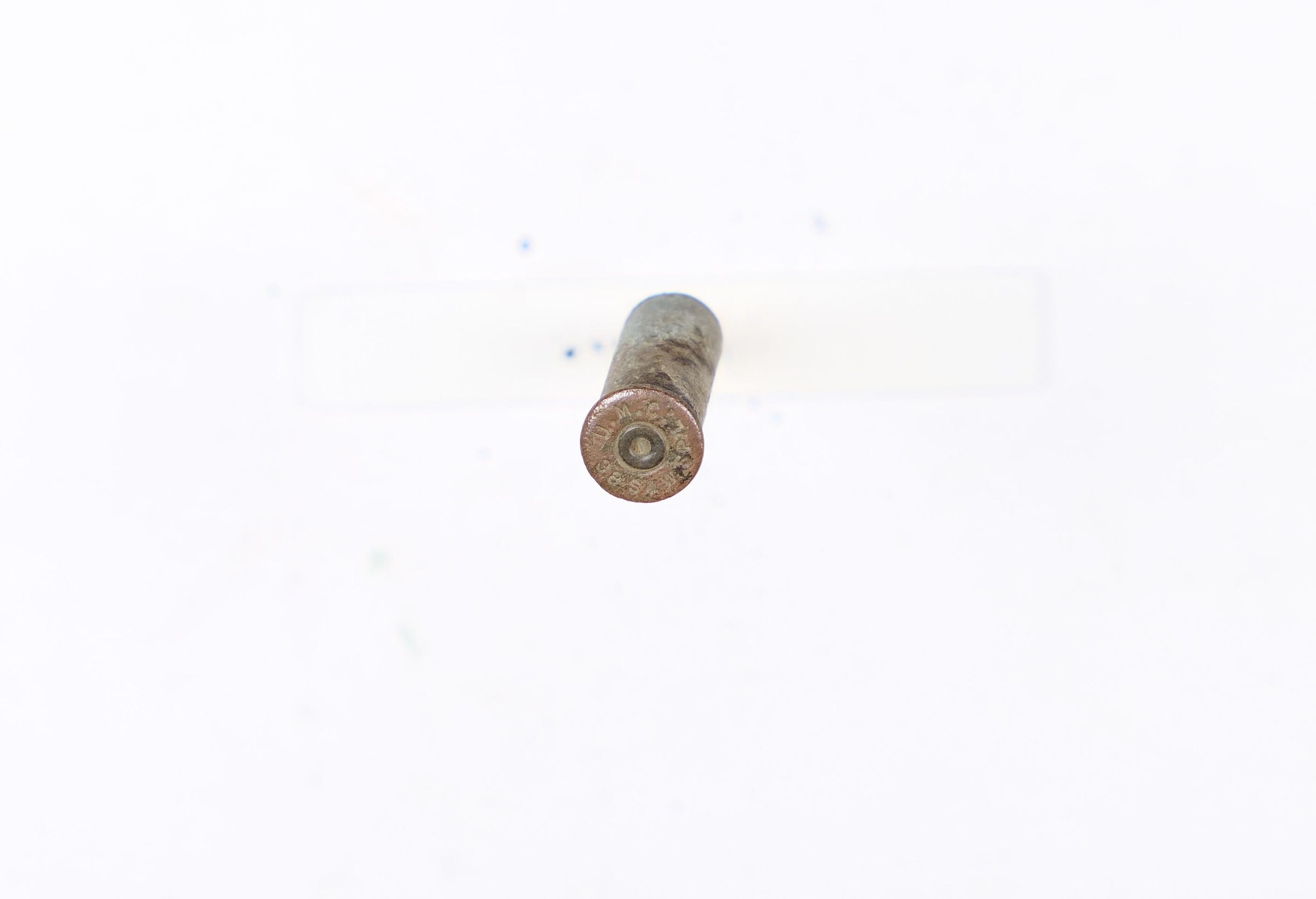
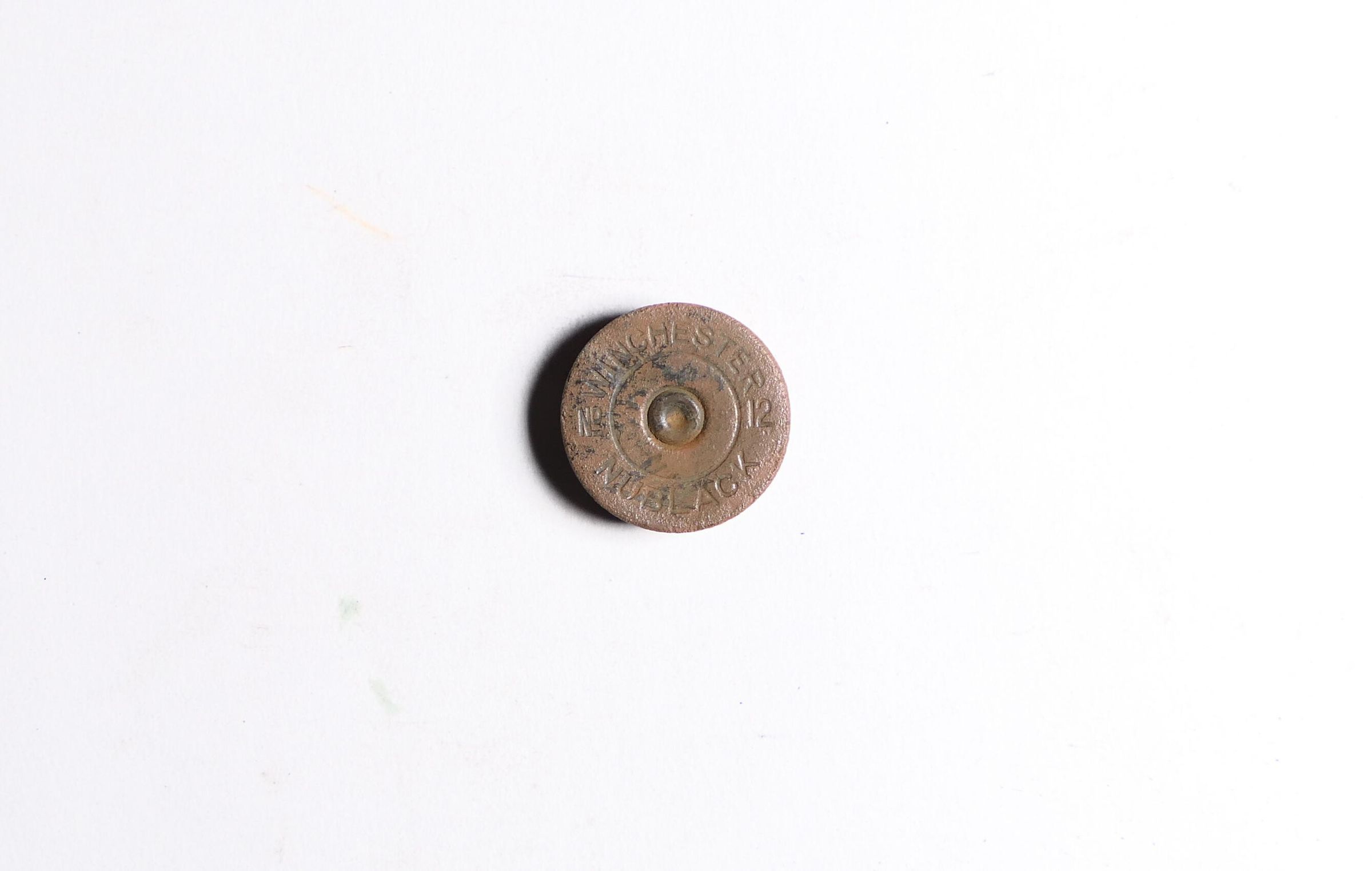
A total of 22 artifacts were found on the site, including rifle, shotgun, and pistol calibers and five-round clips. Sixteen of the shell casings were .30-06 as were both of clips.
People at this site along with those at 46LG210 were in positions to defend against union miners approaching from the north up Sycamore Branch. Historical records clearly" [text ends]
(Ayers team, 2006)Collection
Blair Mountain ArchaeologyAcquisition
Source (if not Accessioned)
Blair Mountain Archaeology GroupNotes
now collection of Kenny KingLocation
Location
Box
Blair Box #2Shelf
Unit A: Shelf 4Room
Artifact Storage RoomCategory
StorageMoved By
Shaun SliferDate
July 29, 2021Relationships
Related Person or Organization
Person or Organization
Blair Mountain Archaeology GroupRelated Places
Place
Location
Crooked Creek Area: Sycamore BranchRegion
Blair Mountain Battlefield, Southeast, Crooked Creek AreaContinent
North AmericaRelated Events
Event
Battle of Blair Mountain (1921)Provenance
Provenance Detail
Archaeological FindNotes
7/1/2006