Name/Title
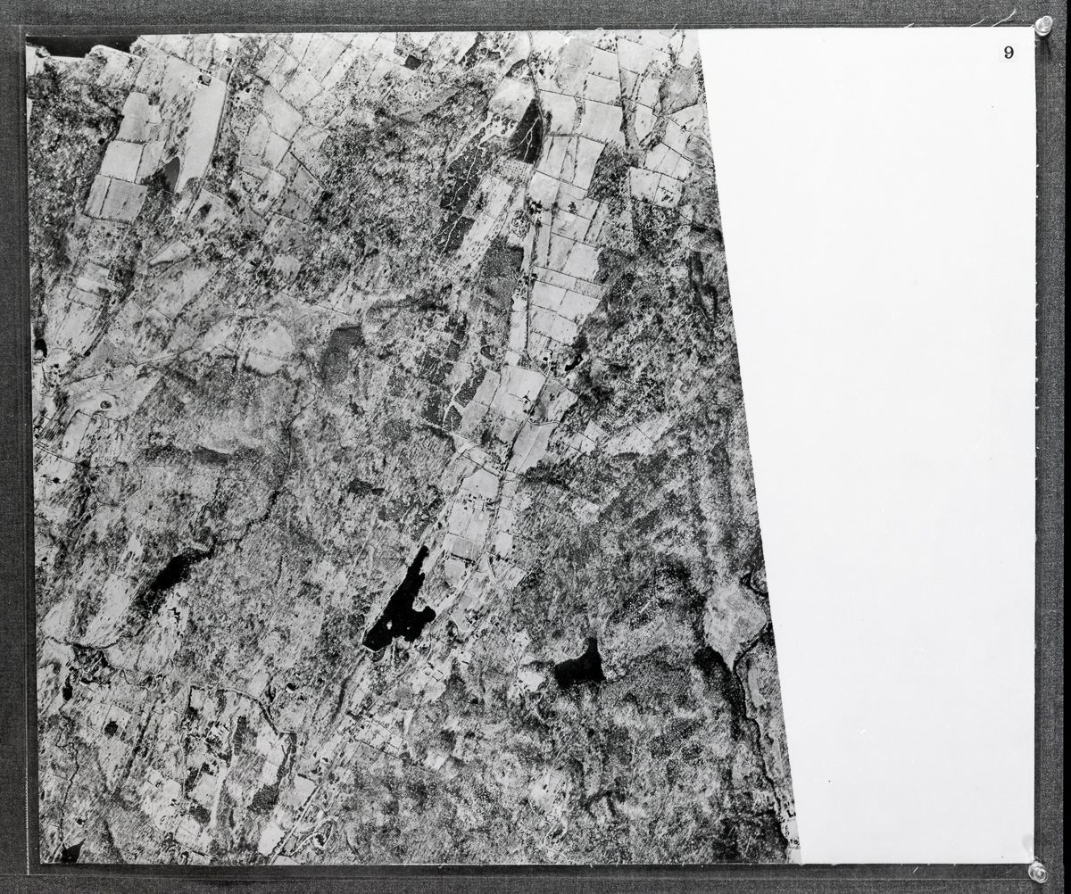
Aerial Photographic Map of the Town of Greenwich, 1929Entry/Object ID
PHOTO.4645Tags
Aerial Views, Maps, HousesDescription
Negatives of an aerial photographic map of Greenwich originally made for the Board of Selectman in 1929 (the flight was undertaken in January of 1928).Collection
Greenwich Photograph Collection